

4.6
Owner's of the Garmin GPS Receiver GPSMAP gave it a score of 4.6 out of 5. Here's how the scores stacked up:
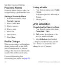
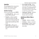
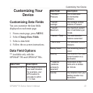

16 GPSMAP 78 Series Owner’s Manual
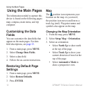
Using the Main Pages
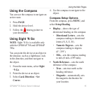
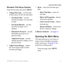
Grid—sets grid north as the
heading reference (0°).
User—sets the magnetic
variation value.
Go To Line/Pointer—allows
you to select how the course is
displayed.
Bearing (Small/Large) indicates
the direction to your destination.
Course indicates your
relationship to a course line
leading to a destination.
Compass—allows you to switch
from an electronic compass to
a GPS compass when you are
traveling at a higher rate of speed
for a set period of time, or turns the
compass off.
Select To Begin—starts the
compass calibration (page 14).
◦
◦
•
◦
◦
•
•
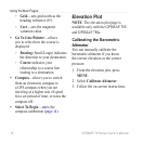
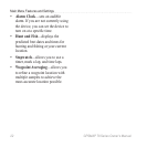
Elevation Plot
NOTE: The elevation plot page is
available only with the GPSMAP 78S
and GPSMAP 78Sc.
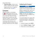
Calibrating the Barometric
Altimeter
You can manually calibrate the
barometric altimeter if you know
the correct elevation or the correct
pressure.
1. From the elevation plot, press
MENU.
2. Select Calibrate Altimeter.
3. Follow the on-screen instructions.


Find Your Products By Category
- Lawn and Garden
- Computer Equipment
- TV and Video
- Laundry Appliance
- Kitchen Appliance
- Car Audio and Video
- Automotive
- Photography
- Fitness & Sports
- Personal Care
- Communications
- Home Audio
- Portable Media
- Musical Instruments & Equipment
- Baby
- Household Appliance
- Cell Phone
- Marine Equipment
- Outdoor Cooking
- Power Tools
- Video Game
Please Login
